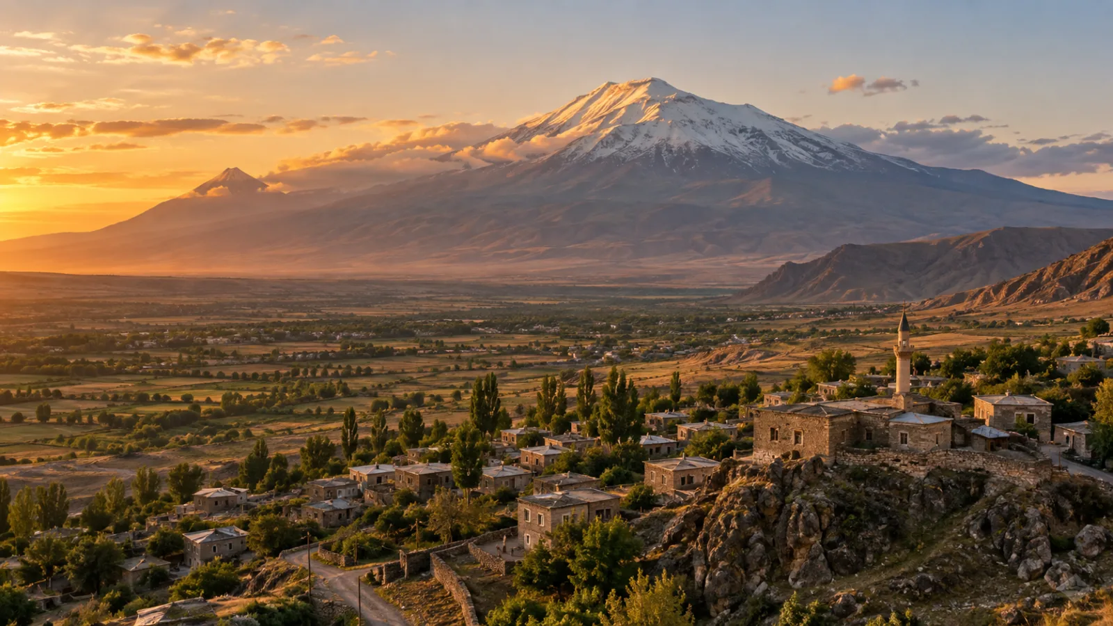
Sixteen thousand feet above sea level, on the eastern edge of Turkey, a mountain wears snow year-round like a burial shroud. Locals call it Agri Dagi. The rest of the world knows it as Mount Ararat. For more than a century, people have climbed toward its summit chasing the same rumor: that somewhere in its ice and rock lies the wreck of a wooden ship that shouldn't be there at all.
That rumor now has a new piece of evidence behind it. A boat-shaped formation near the mountain's base has been scanned again — this time with updated radar and subsurface imaging — and the results are what set off the latest wave of headlines. Buried under sediment, the scans appear to show something with structure: internal patterns, symmetry, and an outline close to the length ancient texts assign to Noah's Ark.
So did they find it? Or is this simply the newest chapter in a search built on real geology, real anomalies, and a story so old it predates the Bible itself?
The Ark, According to Genesis and Its Older Cousins
In the book of Genesis, a flood covers the earth, and a vessel built to specific dimensions — three hundred cubits long, fifty wide, thirty high — comes to rest "upon the mountains of Ararat." Not a single peak, but a mountain range. That distinction matters more than most people realize, because "Ararat" today refers to one specific volcanic summit on the Turkish-Armenian border, an identification that only solidified centuries after the text was written.
The flood story itself isn't unique to Genesis. Centuries earlier, Mesopotamian texts — including the Epic of Gilgamesh and older Sumerian and Akkadian flood narratives — describe a near-identical catastrophe: a god warns a chosen man, a boat is built, animals are loaded, and the waters rise and recede before the vessel lands on a mountain. Scholars generally agree these traditions share common roots, possibly stemming from a real regional flood in Mesopotamia thousands of years before any of these texts were written down — a devastating but local event, later mythologized and expanded through generations of retelling.
A Mountain Built for Mystery
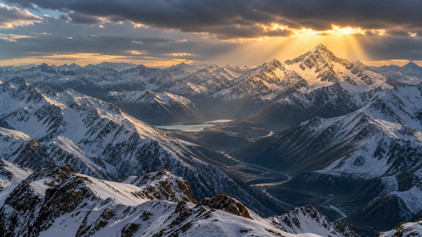
Ararat is a dormant volcano, its summit permanently capped in ice and glacier. It sits in a politically sensitive border region, historically difficult to access and occasionally closed to foreign expeditions entirely for military and security reasons. That isolation matters: the mountain has never been thoroughly, continuously surveyed the way a less remote site would be. Every search has been a narrow window — weather-dependent, politically permitted, and brief.
A Century of Sightings
The first widely circulated modern sighting comes from 1883, when local reports described wooden wreckage exposed after an earthquake. Decades later, in the 1950s, an American mining engineer photographed structures at high altitude that he believed were part of the ark, though the images were inconclusive and the location was later contested.
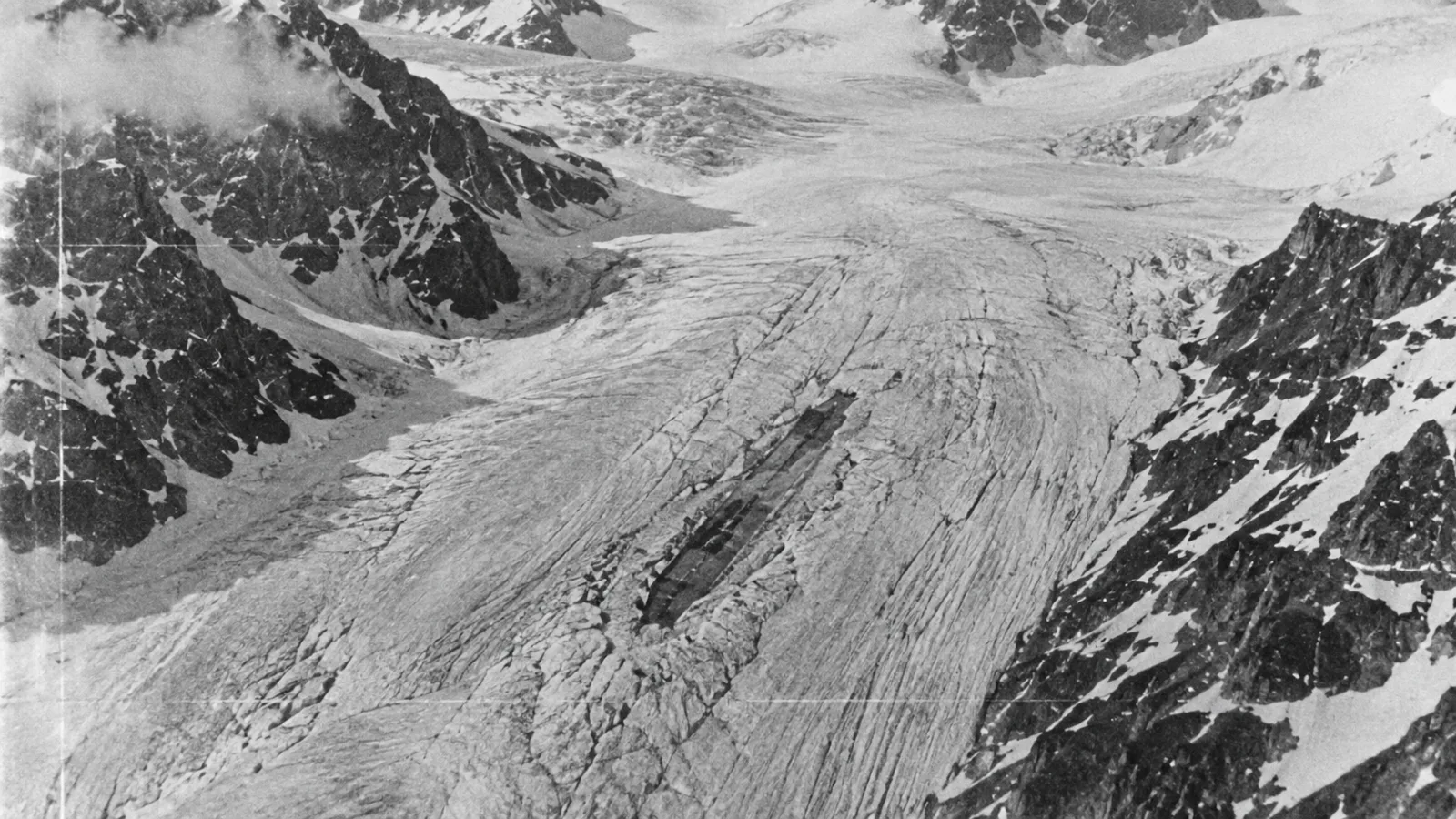
Throughout the Cold War, U.S. reconnaissance aircraft and later declassified satellite imagery occasionally captured anomalies on the mountain — including a linear shape in the ice known as the "Ararat Anomaly," photographed by a U-2 spy plane in 1949 and later by satellites. It generated real interest inside intelligence circles, enough that some images stayed classified for years. When they were finally released, geologists widely interpreted the shape as a natural rock ridge distorted by ice and shadow. By then, though, the story had already taken hold of the public imagination.
The Durupinar Formation
That brings us to the site driving the entire modern conversation: the Durupinar formation.
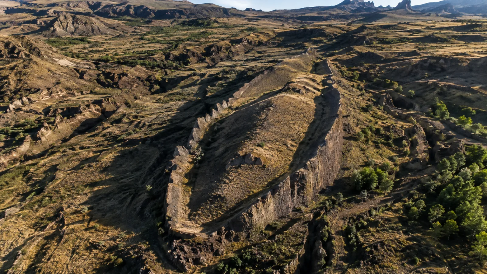
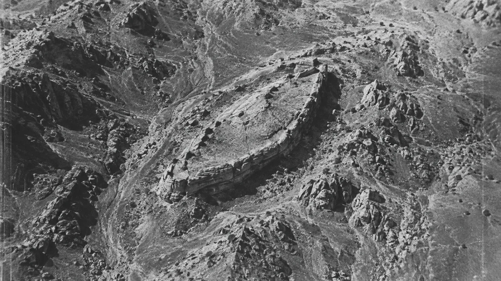
Located about eighteen miles south of Ararat's summit, at a far lower and more accessible elevation, Durupinar is a boat-shaped landform roughly five hundred feet long. It was first spotted in aerial photographs in 1959 by a Turkish military captain, drawing attention instantly because its proportions align strikingly with the ark's dimensions in Genesis.
In the decades since, it's been surveyed again and again. Some researchers have reported petrified wood fragments, unusual metallic readings, and strange soil chemistry in and around the site. Ground-penetrating radar surveys in the 1980s, and again more recently, have produced subsurface images that some investigators describe as symmetrical internal structures — walls, compartments, patterns that seem too regular to be random geology.
That's exactly what the newest scans claim to show. Advocates argue the improved resolution reveals internal chambers and structural symmetry consistent with a man-made hull, now buried under thousands of years of mudflow and sediment. Some go further, proposing that a massive volcanic mudflow — a lahar — carried a wooden vessel down from Ararat and buried it here, far below the summit most people associate with the ark, explaining why the wreck sits so far from where you'd expect it.
The Skeptical Case
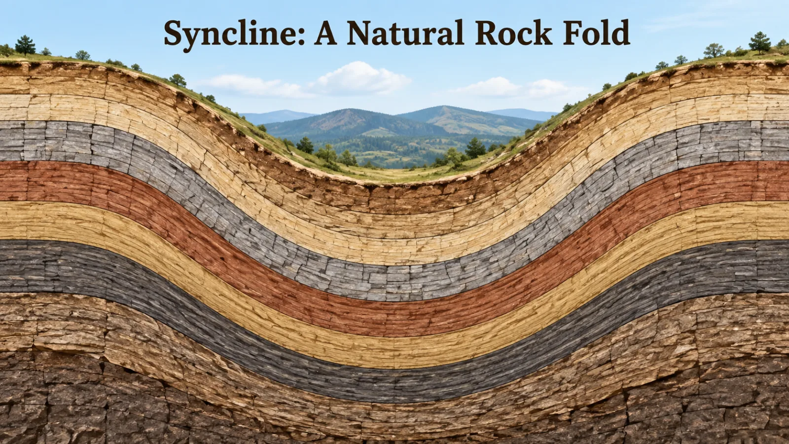
Independent geologists who've examined Durupinar mostly reach a very different conclusion. The boat-like shape, they argue, is a naturally occurring structure called a syncline — a fold in rock layers that, under the right erosion, can produce remarkably symmetrical, elongated forms. Similar formations exist around the world with no ark connection at all. The terrain around Ararat is ancient seabed and volcanic material, uplifted and folded by tectonic activity over millions of years — precisely where you'd expect nature to carve a boat-shaped ridge by pure chance.
But a natural explanation for the surface shape doesn't automatically explain what the radar picks up underground. According to critical reviewers, it's not as much as the headlines suggest. Ground-penetrating radar in geologically complex terrain routinely produces ambiguous, layered signals that can read as regular patterns even when the material below is entirely natural rock and sediment.
The Peer Review Gap
Several earlier "discoveries" — specific metal and organic samples reportedly tested in past decades — were never validated through peer-reviewed publication with transparent methods. That absence matters. In genuine archaeology, findings get published, peer reviewed, and independently retested. Much of the ark evidence has instead traveled through documentaries, self-funded expeditions, and organizations with an explicit interest in confirming Genesis — which doesn't make the claims false, but does mean they've never faced the scrutiny that would settle the question.
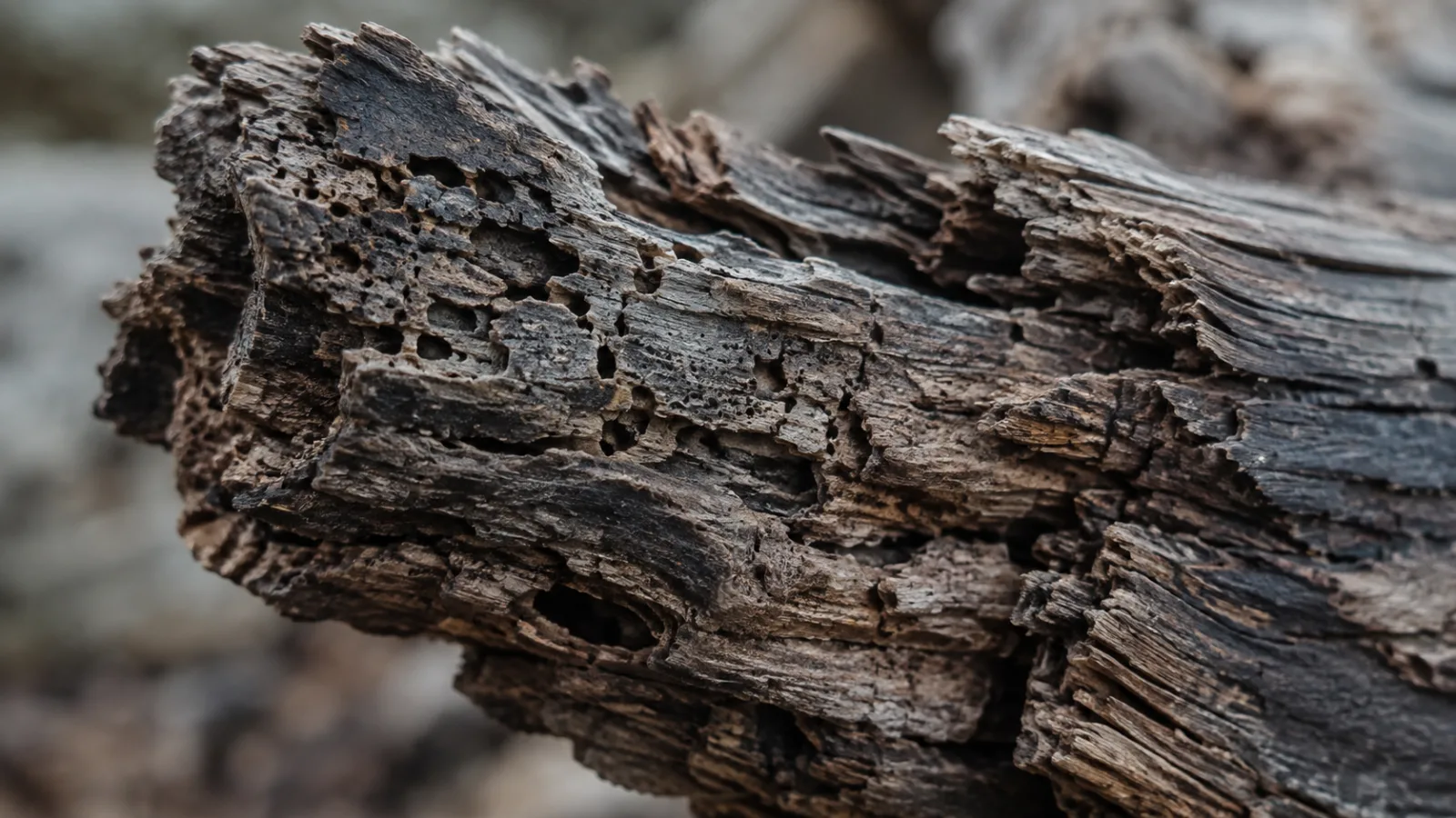
Then there's the wood. Even in ideal conditions, timber degrades over thousands of years, and this environment cycles through freezing, thawing, and volcanic mudflow. Any wood fragments recovered from the region have, in credible testing, generally dated to periods and origins inconsistent with a single ancient vessel — though comprehensive, transparent dating on many of these specific samples remains limited or disputed in its own right.
Where the Newest Scans Leave Us
The honest answer is: unresolved, and likely to stay that way without a full, transparent excavation. Turkish authorities have granted and restricted access to Durupinar at various points, and the site now sits inside a protected national park. Any large dig would need government approval, international scientific oversight, and funding — none of which has yet turned into an actual excavation matching the scale of the claims being made about the imaging.
What we're left with is a real anomaly, in a genuinely strange landscape, examined with real technology that produces real but ambiguous results — layered onto a story that captivated human imagination for thousands of years before radar or satellites existed. The formation might be exactly what geologists say: a beautiful accident of folded rock and ancient tectonics. Or it might be hiding something no one has yet been willing, or able, to dig out and prove.
The Detail No One Has Explained
There's one detail neither side has ever fully explained. In 1959, when the formation was first spotted from the air, its shape was softer — less defined, partly hidden by the surrounding terrain. Decades of erosion since have made the boat-like outline sharper, not fainter, as if time is peeling something back rather than wearing it away.
Natural erosion could do that. So, in theory, could soil slowly falling away from something solid underneath. Nobody has opened the ground far enough to know which.